How to Get to Sapa
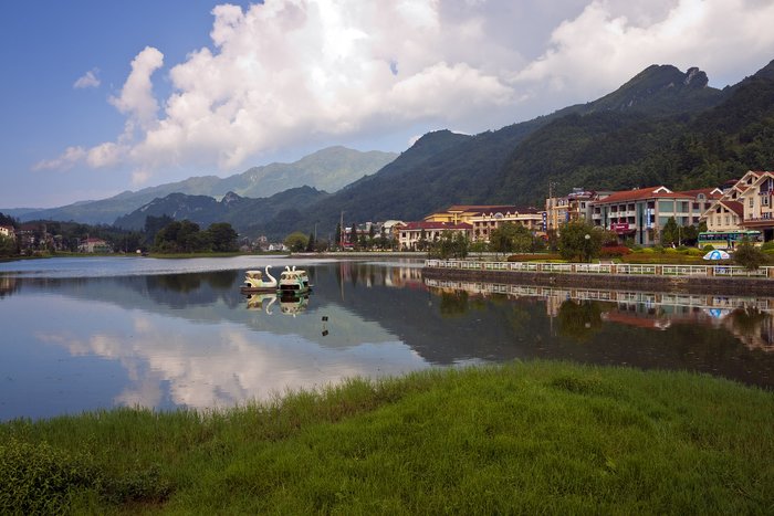
In northern Vietnam, 200 miles (320 km) from Hanoi and close to the border with China, lies Sapa. At 4921 feet (1500 m) above sea level, Sapa lies in the Hoang Lien Son mountain... read more
In northern Vietnam, 200 miles (320 km) from Hanoi and close to the border with China, lies Sapa. At 4921 feet (1500 m) above sea level, Sapa lies in the Hoang Lien Son mountain... read more
It's about 175 miles (109 km) from Hoi An to the famously scenic Halong Bay, and travelers have several transport options for the journey. The most efficient way is via a... read more
There are 104 miles (168 km) separating Ho Chi Minh City and the Mekong Delta city of Can Tho, famous for its canals and floating markets. To travel between them, the most... read more
The mountainous city of Ninh Binh is just 60 miles (97 km) from Hanoi, and you have three easy travel options to choose from. Private transfer is the most straightforward... read more
Located in Bắc Kạn province, Ba Be National Park is around 150 miles (240 km) north from Hanoi. The best way to visit Ba Be is by road—you can get there by private transfer,... read more
The ecotourism destination of Pu Luong Nature Reserve is 95 miles (145 km) from Hanoi. Your best bet is to book a private transfer for the 4.5-hour journey, as there is no... read more
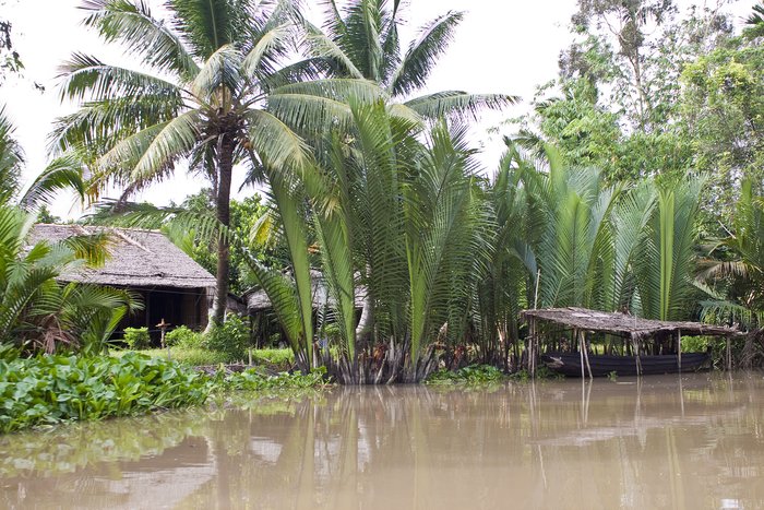
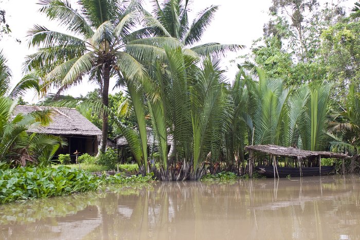
The Mekong River Delta in southern Vietnam is one of the most picturesque regions in the country. Offering a slower pace of life, with palm trees, floating markets, and colonial... read more
If you're looking to explore the under-the-radar cousin of Vietnam's Halong Bay, the Gulf of Tonkin's other jewel, Bai Tu Long Bay, is 131 miles (211 km) from Hanoi. You have... read more
Travelers looking to make the 486-mile (783 km) journey from Hue to scenic Halong Bay—famous for its limestone pillars and lush islands—will likely wish to make the journey by a... read more
If you're looking to make the 108-mile (174 km) journey from Hanoi to scenic Halong Bay—a UNESCO World Heritage Site famous for its limestone pillars and small, verdant... read more
Ho Chi Minh City is 1,180 miles (1,900 km) from northern Vietnam's Halong Bay, and the best way to make the journey between the two is by combining a flight with a private... read more
Travelers making the 681-mile (1,097 km) journey from Hoi An to the city of Can Tho, famous for its floating markets and canals, will likely wish to fly between the two cities... read more
Travelers making the 129-mile (208 km) journey between Ninh Binh and Halong Bay typically arrange for a private transfer, often as part of a broader tour. Private transfer... read more
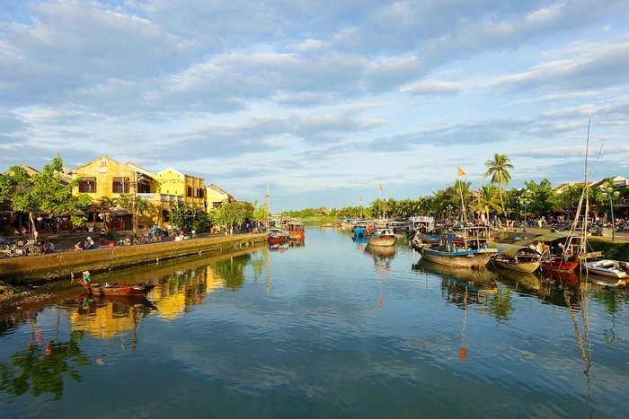
Travelers making the 582-mile (938 km) trip between Ho Chi Minh City and the UNESCO-listed town of Hoi An have several options to complete the journey. The fastest and best... read more
Travelers looking to make the 200-mile (320 km) trip from bustling Hanoi to the trekking base town of Sapa (which lies at the foot of Fanispan, the highest peak in Vietnam) have... read more
Vietnam's two major cities, Ho Chi Minh City in the south and Hanoi in the north, are about 1,000 miles (1,600 km) apart. The easiest way to get to Hanoi is a direct two-hour... read more
The best way to get from Ho Chi Minh City in Vietnam to Siem Reap (gateway to the spectacular temple of Angkor Wat) in Cambodia will likely make the 287-mile (462km) journey... read more
Those traveling the 423 miles (680 km) from Hanoi to the former imperial city of Hue have several options, but taking a direct flight will be best. If you'd like to see more... read more
Travelers looking to make the 306 mile (493 km) journey from Sapa to scenic Halong Bay - famous for its limestone caves and verdant islands - should consider either a... read more
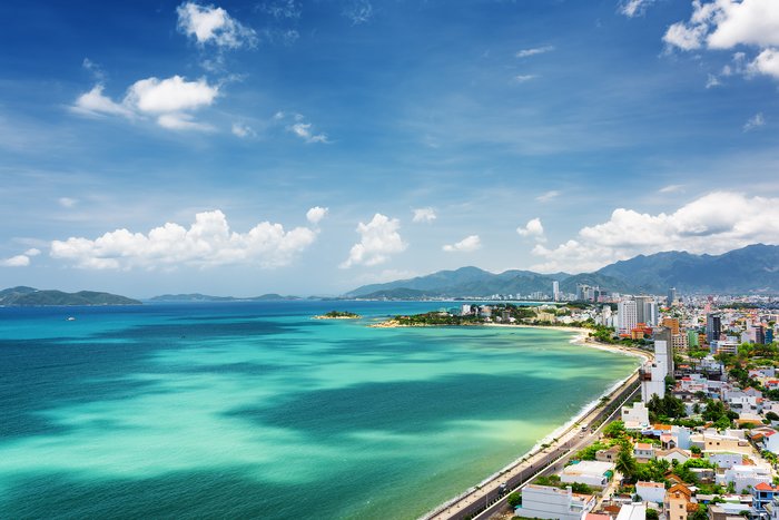
The coastal enclave of Nha Trang is 269 miles (434 km) from Ho Chi Minh City, and it makes for a great place to relax after experiencing the excitement of the city. A direct... read more
Travelers making the 500-mile (807 km) trip from Hanoi to the UNESCO World Heritage Site of Hoi An have several options for completing the journey. The fastest route and best... read more
The best way for travelers looking to make the 75-mile (121 km) journey from Hoi An to Hue is to arrange for a private transfer. Although the distance between the two cities is... read more
